Taxonomy
Kingdom Animalia (16266)Phylum Arthropoda (14974)
Class Insecta (13230)
Order Lepidoptera (1826)
Family Hesperiidae (30)
Genus Pyrgus (9)
Species Pyrgus sidae
Browse by taxonomy
Simple search by name
Pyrgus sidae ✗
Species have not been checked by expert, presence of species in Georgia might not be certain
Scientific Name ID: 33921
Species: sidae
Taxon Rank: Species
Scientific Name Authorship: (Esper, 1784)
Reference of occurrence in Georgia: Didmanidze, E., 2004. Annotated list of diurnal butterflies (Lepidoptera: Rhopalocera) of Georgia and adjacent territory from Southern Caucasus.Proceedings of the Institute of Zoology (Tbilisi, Georgia) Vol. XXII: 197-226
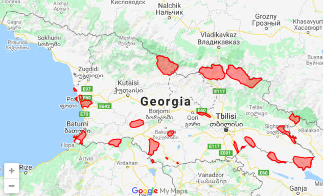
Georgian biodiversity database contains 8 occurrences of Pyrgus sidae
| Occurrence ID | Basis of Record | Locality | Recorded By | Decimal Latitude | Decimal Longitude |
| 16171 | Borjomi | 41.83887 | 43.390453 | ||
| 16172 | Kojori | 41.660144 | 44.708403 | ||
| 16173 | Motsmao | 42.433523 | 44.933022 | ||
| 16175 | Shuapkho | 42.416764 | 44.995213 | ||
| 16176 | Uraveli | 41.558564 | 43.078129 | ||
| 16177 | Adigeni | 41.676249 | 42.710268 | ||
| 16178 | Khando | 41.491546 | 43.403716 | ||
| 16179 | Gori | 41.985681 | 44.109946 |
Information from GBIF about Pyrgus sidae
GBIF scientific name: Pyrgus sidae (Esper, 1784)
GBIF taxonomic status: ACCEPTED

Conservation Status
This section is under construction
National Red List Status of Pyrgus sidae have not been evaluated


